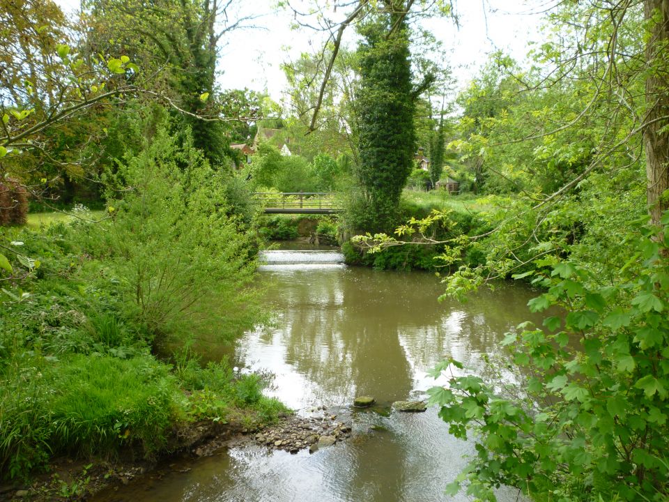
The River Teise
The River Teise is a tributary of the River Medway, flowing from its spring sources near Tunbridge Wells to join the Medway at Yalding. It flows eastwards through Lamberhurst where it is joined by the River Bewl, before heading north below Goudhurst and splitting south west of Marden, creating the Lesser and Greater Teise.
The Teise sub-catchment is made up of nine Water Framework Directive (WFD) waterbodies: one reservoir and eight tributaries. With the exception of the Teise at Bewl, all waterbodies are at moderate status or below. These waterbodies all drain into the River Teise upstream of its confluence with the River Medway. The Teise sub-catchment covers 136 km2 of Kent and East Sussex. The lower valley of one of the river's upper tributaries, the Bewl, was dammed and flooded between 1973 and 1975 to create Bewl Water reservoir.
The River Teise passes a number of historic landmarks as it flows through the High and Low Weald, including ancient iron workings, mills and furnaces. Lamberhurst was a centre of the Wealden iron industry, and cloth-making was also important in this area.
The geology of this sub-catchment is dominated by sandstone and clay, with overlying alluvial gravel. The underlying impervious Wadhurst clay means that there is a high flood risk around the confluence of the Teise, Beult and Medway at Yalding, and a significant numbers of properties are also at risk at Paddock Wood and Lamberhurst.
Angling is a popular sport on many stretches of the Teise. Clubs including the Teise Anglers and Owners' Association, and the Beech Tree Angling & Wildlife Preservation Society, fish for wild and stocked trout, roach and chub amongst other species.
River Teise at Lamberhurst
