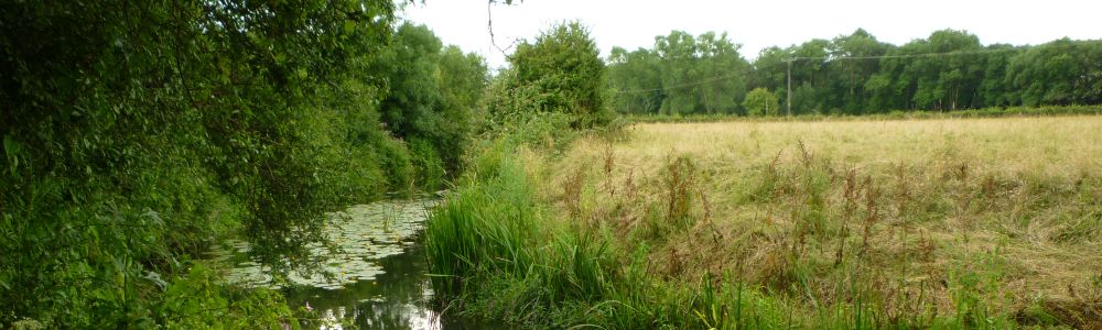
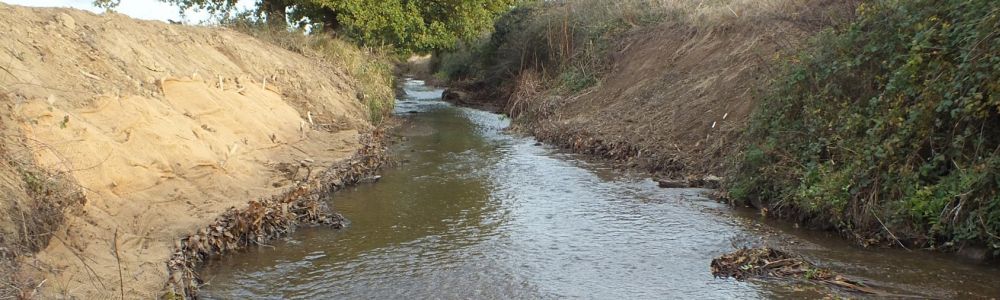
Together, the Upper Medway, the Middle Medway, the River Eden, the Beult and the River Teise form the Medway Catchment. The Medway is a large catchment covering 1,857 km2 of Surrey, Kent and East Sussex. There are a large number of historic sites in the catchment which highlight how important the rivers were for local industry and development. Historically, the power of many of these waterways was harnessed with weirs to turn mill wheels and drive mechanical hammers in many iron works. Other ponds were created for fishing - these were often associated with monasteries and priorities.
What is a catchment?
A river's catchment is the term used to describe the area of land that influences it. The extent and shape of the catchment is largely defined by the lay of the land, the topography. An easy way to visualise this is to think of it as an upside down umbrella. When it rains, any water that falls over the umbrella will eventually flow down to the centre which represents the river. Rainfall that misses the umbrella will flow down to a different river in a different catchment. Rain falling on the boundary of two umbrellas, or two catchments, could end up in either one or the other and this boundary line is known as the watershed.
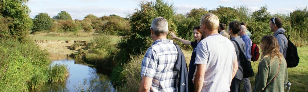
The Catchment-Based Approach
![]() To help with the huge task of restoring rivers back to health, the Catchment Based Approach (CaBA) was launched by Defra in 2011. CaBA recognises that all activities within the catchment can have an effect on the river that flows through it – even when some distance away from the river itself. This approach harnesses the skills, knowledge, enthusiasm and resources from a variety of organisations and individuals, all with a stake in the river, to maximise the effectiveness of projects and interventions within the catchment. You can find out more information about CaBA at www.catchmentbasedapproach.org.
To help with the huge task of restoring rivers back to health, the Catchment Based Approach (CaBA) was launched by Defra in 2011. CaBA recognises that all activities within the catchment can have an effect on the river that flows through it – even when some distance away from the river itself. This approach harnesses the skills, knowledge, enthusiasm and resources from a variety of organisations and individuals, all with a stake in the river, to maximise the effectiveness of projects and interventions within the catchment. You can find out more information about CaBA at www.catchmentbasedapproach.org.